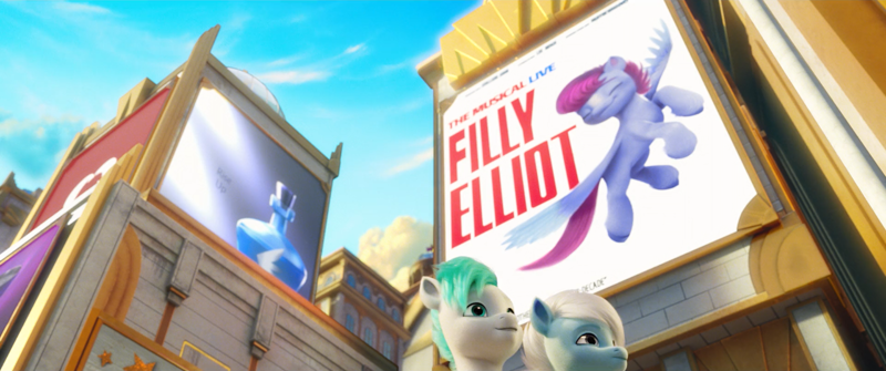
Shimmering Spectacle 
.")


 - Took part in the 2020 Community Collab")

")
sTs trinity
@GoodVibesGorgeous
i sometimes had this theory that the southern half of equestria is now underwater
i sometimes had this theory that the southern half of equestria is now underwater

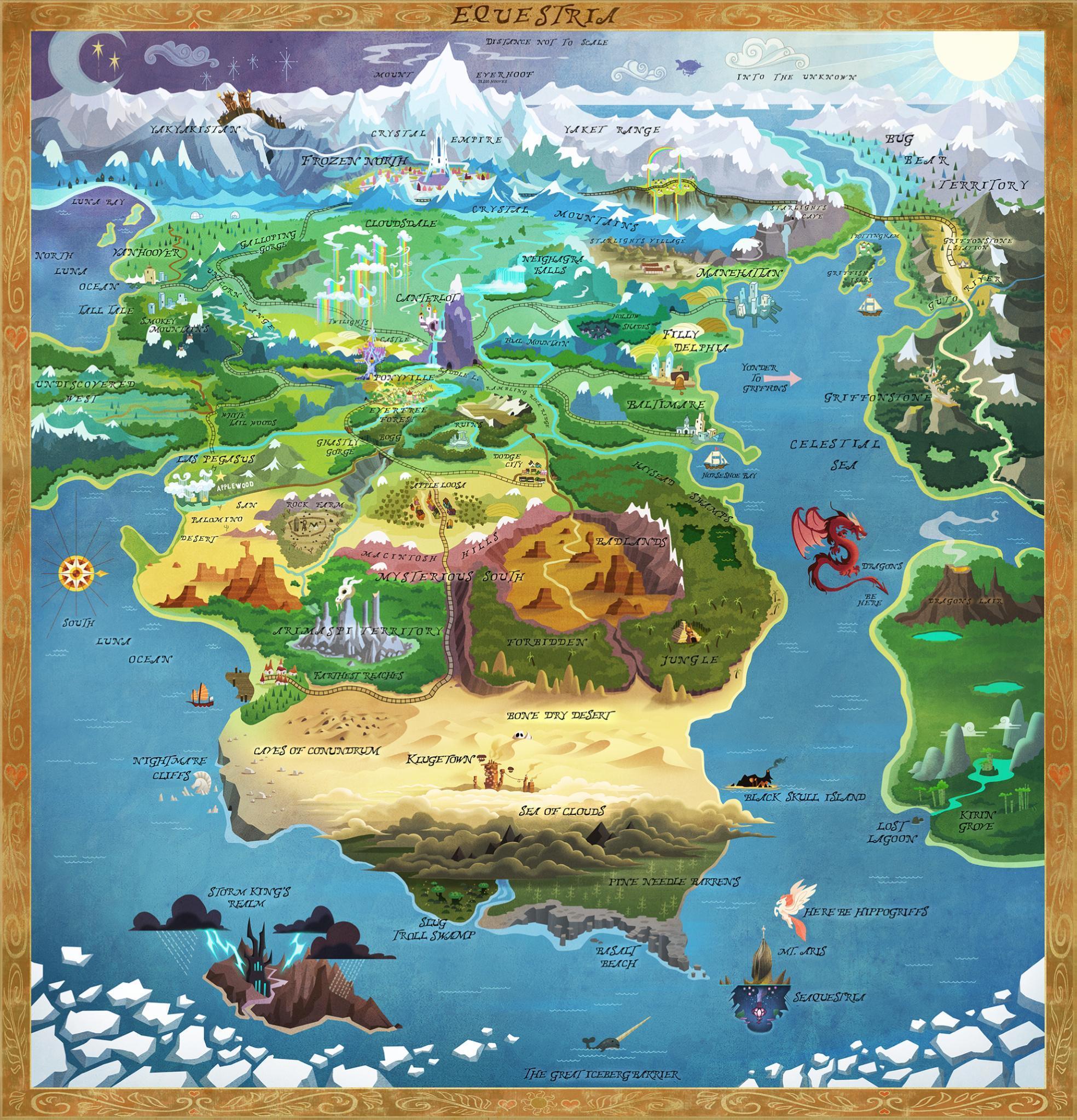 Using this map as a basis, Bridlewood actually may be around White Tail or the Undiscovered West (since the Tree of Harmony, the one the Mane 5 actually saw in the movie, was located in Celestia and Luna’s old castle), as early promotional pictures suggest. But I’m still not sure!


Maybe Windigoes run on anger and hate rather than fear, mistrust and paranoia. Maybe the tribes don’t completely hate each other or what you said.
Maybe Windigoes run on anger and hate rather than fear, mistrust and paranoia. Maybe the tribes don’t completely hate each other or what you said.A core part of pegasus culture is keeping everyone safe, happy and distracted. Intentionally or unintentionally, this might be repressing the windigoes.


Help fund the $15 daily operational cost of Derpibooru - support us financially!